
| 詳細情報表示 | 1件の内1件目を表示中 |
| 新規検索 |
| サムネイル一覧 | 簡易情報付一覧 | ArtWiki |
| No. BLMAP-0301_013 Nickname. |
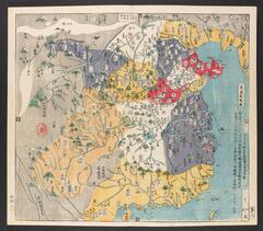
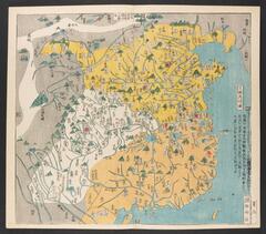
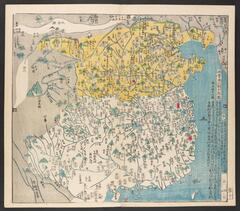
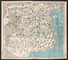
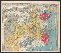
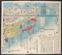
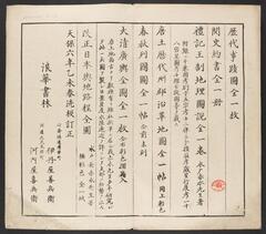
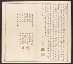
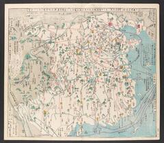
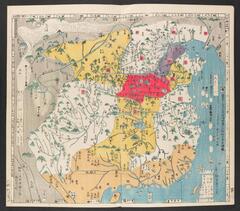
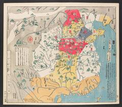
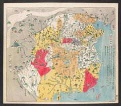
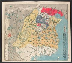
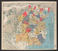
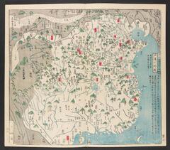
| 資料名(日): 唐土歴代州郡沿革図 |
| 資料名(英): Todo rekidai shugun enkakuzu [Maps showing the historical development of the districts of China] |
| 画像頁G: BL_0008 (13/16) |
| 所蔵: 大英図書館 British Library 成立・出版年(西暦): Printing blocks prepared in 1789; printed in 1835 成立・出版年(和暦): 寛政1<1789>序刊・天保6<1835>修 (大坂、河内屋喜兵衛等) 出版地(日): |
| 出版者(日): |
| 出版者(英): |
| 作成者(日): 長久保赤水編 |
| 作成者(英): 長久保赤水編 / Nagakubo Sekisui (1717-1801) |
| アトラス・書名: |
| 版画家(日): メディア(日): |
| 地図サイズ: メディア(英): エリア(日): |
| 出版特権: |
| 地図備考(日): *多色刷。(刊記書肆)天保六年乙未春_板訂正/浪華書林/伊丹屋善兵衛・河内屋喜兵衛。 |
| 地図備考(英): |
| 地図解説(日): |
| 地図注釈(日): |
|
参考文献(英):
> List of References |
|
追加の参考文献(日):
> List of References |
| 地図の位置: 大英図書館 British Library Shelfmark: Maps 14.d.15 |
全ページ一覧
|
所蔵資料の利用に関しましては所蔵資料ご利用ガイドをご覧ください。 |
![]()