|
|
No.
cortazzi015
Nickname.
|
|
資料名:
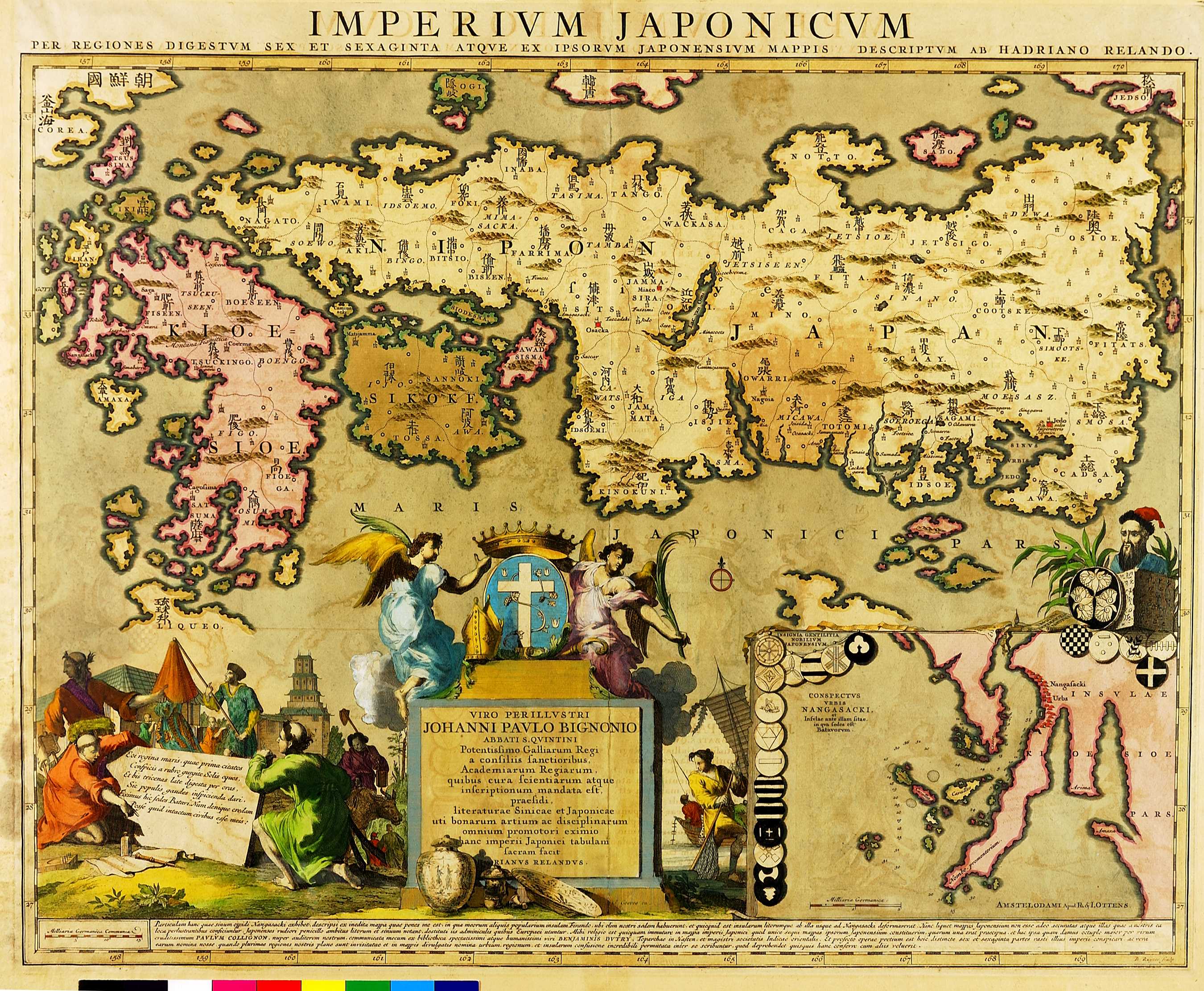
IMPERIVM JAPONICVM
|
|
Title:
IMPERIVM JAPONICVM
|
|
画像頁G:
|
|
所蔵:
成立・出版年(西暦):
1740c
成立・出版年(和暦):
Place:
アムステルダム
|
|
出版者:
Ottens, Reinier & Josua
|
|
Publisher:
Ottens, Reinier & Josua
|
|
作成者:
Reland, Adrian
|
|
Cartographer:
Reland, Adrian
|
|
Atlas / Book Title:
Ottens, R. & I. Atlas Minor. 2 vols. Amsterdam, n.d.
|
|
Engraver:
Ruyter, B.
Medium:
銅版画
|
|
Map Size:
46.5×60.0 cm (49.5×60.0 cm)
Medium:
-
Area:
日本、朝鮮、蝦夷、琉球
|
|
Privilege:
CONSPECTVS VRBIS NANGASACKI, et Insvlae ante illam sitae, in qua sedes est Batavorvm.
|
|
地図備考:
|
|
Map Notes:
(Walter:) The third state of OAG 69, with the imprint of Joachim Ottens erased and replaced by that of his sons Reinier and Josua, who took over the business from his widow in 1725.
|
|
Map Discription:
|
|
Map Comments:
|
Japan Reference:
Campbell 43; Cortazzi pl. 77; OAG: 87
> List of References
|
Additional Reference:
-
> List of References
|
|
|
|
Map Location:
LC
Shelfmark:
G1015 .O8 1756
|
|
|
|
|
|