| 詳細情報表示 | 4件の内4件目を表示中 |
| ← 前の作品 | 新規検索 |
| サムネイル一覧 | 簡易情報付一覧 | ArtWiki |
| No. BLMAP-0306_004 Nickname. |
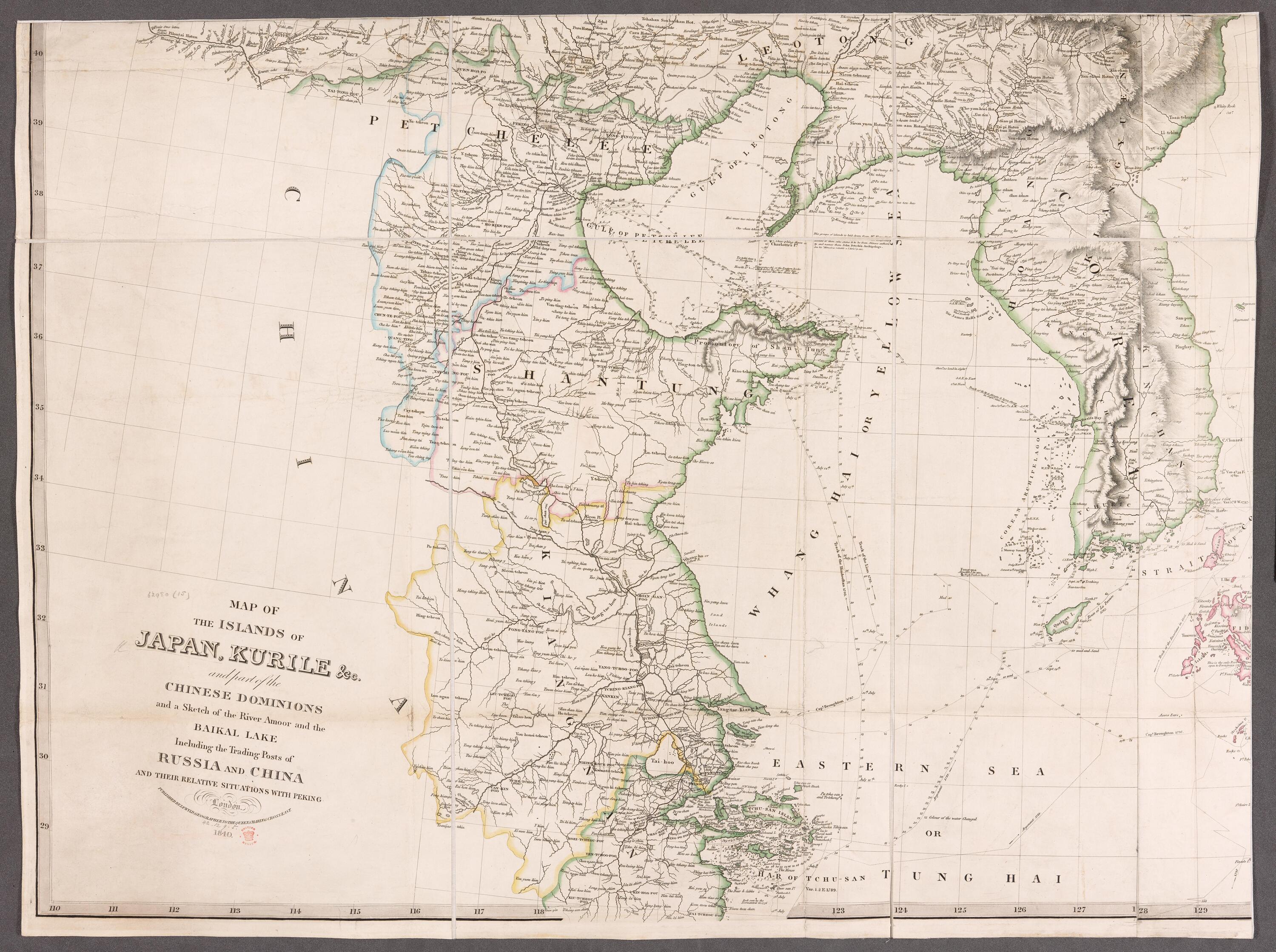
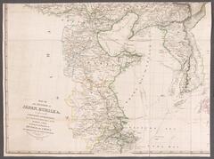
| 資料名(日): 中国(上海付近)の地図 |
| 資料名(英): [Map of the Islands of Japan, Kurile, etc] |
| 画像頁G: BL_0013 (4/4) |
| 所蔵: 大英図書館 British Library 成立・出版年(西暦): 1840 成立・出版年(和暦): 出版地(日): |
| 出版者(日): |
| 出版者(英): Map OF THE ISLANDS OF JAPAN.KURILE &c. and part of the CHINEZE DOMINIONS and a Sketch of the River Amoor and the BAIKAL LAKE Incliding the Trading Post of RUSSIA AND CHINA AND THEIR RELATIVE SITUATIONS WITH PEKING |
| 作成者(日): |
| 作成者(英): |
| アトラス・書名: |
| 版画家(日): メディア(日): |
| 地図サイズ: メディア(英): エリア(日): |
| 出版特権: |
| 地図備考(日): |
| 地図備考(英): |
| 地図解説(日): |
| 地図注釈(日): |
|
参考文献(英):
> List of References |
|
追加の参考文献(日):
> List of References |
| 地図の位置: 大英図書館 British Library Shelfmark: Maps 62980.(15.) |
全ページ一覧
|
所蔵資料の利用に関しましては所蔵資料ご利用ガイドをご覧ください。 |
![]()